
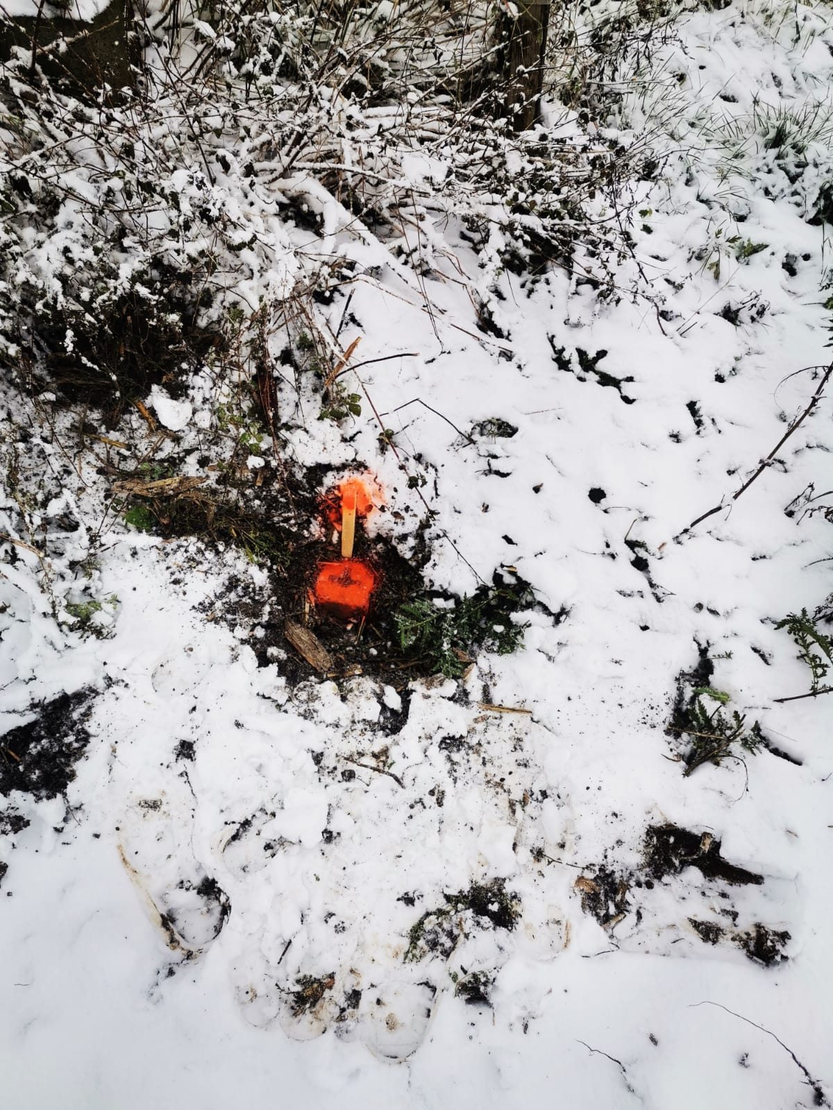
Wznowienie granic działki to procedura geodezyjna polegająca na odtworzeniu zniszczonych lub przesuniętych znaków granicznych na podstawie archiwalnych dokumentów i pomiarów geodeta wyznacza punkty graniczne i sporządza protokół oraz operat techniczny. Proces ten przywraca istniejącą granicę prawną działki w terenie, a jego celem jest upewnienie się, że fizyczne oznaczenia znaków granicznych odpowiadają dokumentacji, co jest kluczowe przed budową lub sprzedażą nieruchomości.
Wznowienie, wyznacznie, ustalenie granic nieruchomości
Informacje o usłudze
Our Process
Initial Design Inputs
Receive architectural plans, mood boards, or sketches
3D Modeling
Build accurate digital models in SketchUp, Revit, or 3ds Max
Texturing & Lighting
Apply materials and realistic lighting scenarios
Rendering & Final Output
Deliver high-resolution images or walkthroughs in preferred
Sample Visuals

Through advanced 3D visualization and rendering, we bring your architectural concepts to life before construction begins. This service ensures precision, saves time, and enhances client understanding. Our visual tools empower better decisions and deliver stunning, photorealistic previews of your envisioned spaces.