
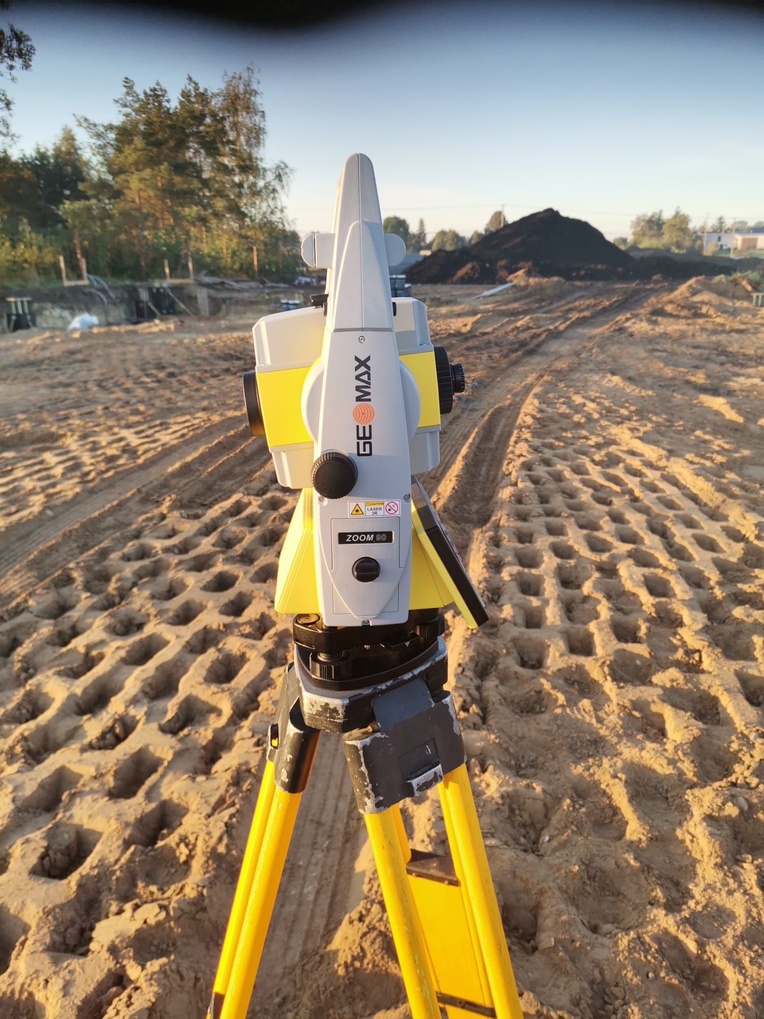
Geodezyjna obsługa inwestycji to kompleksowy proces prac geodezyjnych na każdym etapie budowy, obejmujący pomiary, wytyczanie obiektów w terenie (np. budynku, osi, fundamentów), bieżącą kontrolę zgodności z projektem, a także tworzenie dokumentacji powykonawczej i jej przekazanie, by zapewnić zgodność inwestycji z planem, przepisami i precyzyjne usytuowanie wszystkich elementów. Proces ten obejmuje stworzenie mapy do celów projektowych, tyczenie granic działki, osi konstrukcyjnych, kontrolę pionowości i poziomości elementów oraz inwentaryzację powykonawczą.
Geodezyjna obsługa inwestycji
Informacje o usłudze
Our Process
Initial Design Inputs
Receive architectural plans, mood boards, or sketches
3D Modeling
Build accurate digital models in SketchUp, Revit, or 3ds Max
Texturing & Lighting
Apply materials and realistic lighting scenarios
Rendering & Final Output
Deliver high-resolution images or walkthroughs in preferred
Sample Visuals

Through advanced 3D visualization and rendering, we bring your architectural concepts to life before construction begins. This service ensures precision, saves time, and enhances client understanding. Our visual tools empower better decisions and deliver stunning, photorealistic previews of your envisioned spaces.