
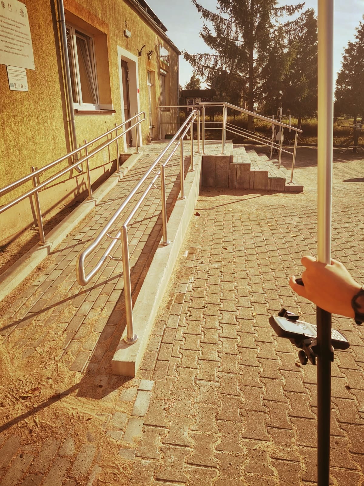
Pomiary sytuacyjno-wysokościowe to proces geodezyjny polegający na jednoczesnym określaniu położenia (współrzędne X, Y) i wysokości (rzędne H) charakterystycznych punktów terenu, takich jak budynki, sieci uzbrojenia czy załamania terenu, w oparciu o geodezyjną osnowę. Proces obejmuje pomiary w terenie za pomocą narzędzi zapewniających odpowiednią precyzję pomiaru wynikającą z przepisów , a jego wynikiem jest aktualna mapa sytuacyjno-wysokościowa, niezbędna do projektowania.
Pomiary sytuacyjno-wysokościowe
Informacje o usłudze
Our Process
Initial Design Inputs
Receive architectural plans, mood boards, or sketches
3D Modeling
Build accurate digital models in SketchUp, Revit, or 3ds Max
Texturing & Lighting
Apply materials and realistic lighting scenarios
Rendering & Final Output
Deliver high-resolution images or walkthroughs in preferred
Sample Visuals

Through advanced 3D visualization and rendering, we bring your architectural concepts to life before construction begins. This service ensures precision, saves time, and enhances client understanding. Our visual tools empower better decisions and deliver stunning, photorealistic previews of your envisioned spaces.